The lodge has two cameras which can be viewed on weathercamsnow
The Perisher XC Centre publishes daily trail and grooming reports which can be viewed here.
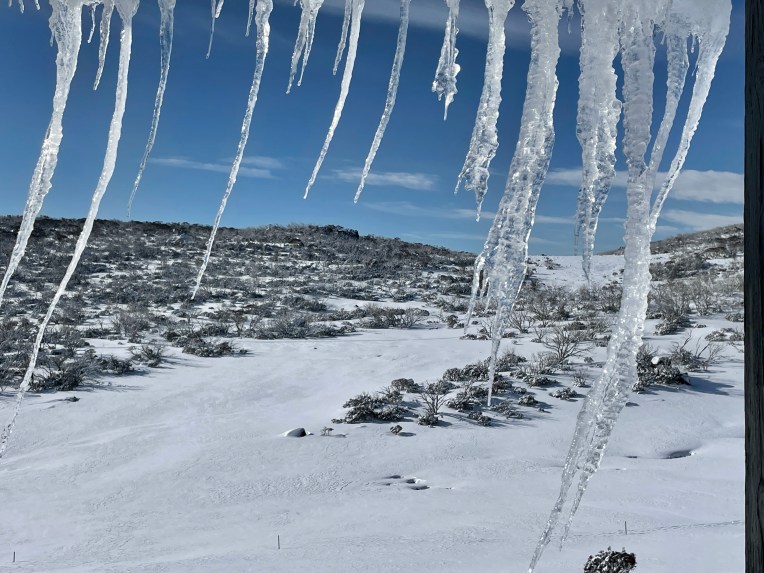
The latest forecast from the Bureau of Meteorology is a great place to see the next 7 days of conditions. You can also check out the Perisher snow cams and Perisher weather forecast.
Snow depth

Snowy hydro Snow depth charts are based on depths at Spencers Creek as measured by Snowy Hydro Limited and there is an archive of past season snow depths.
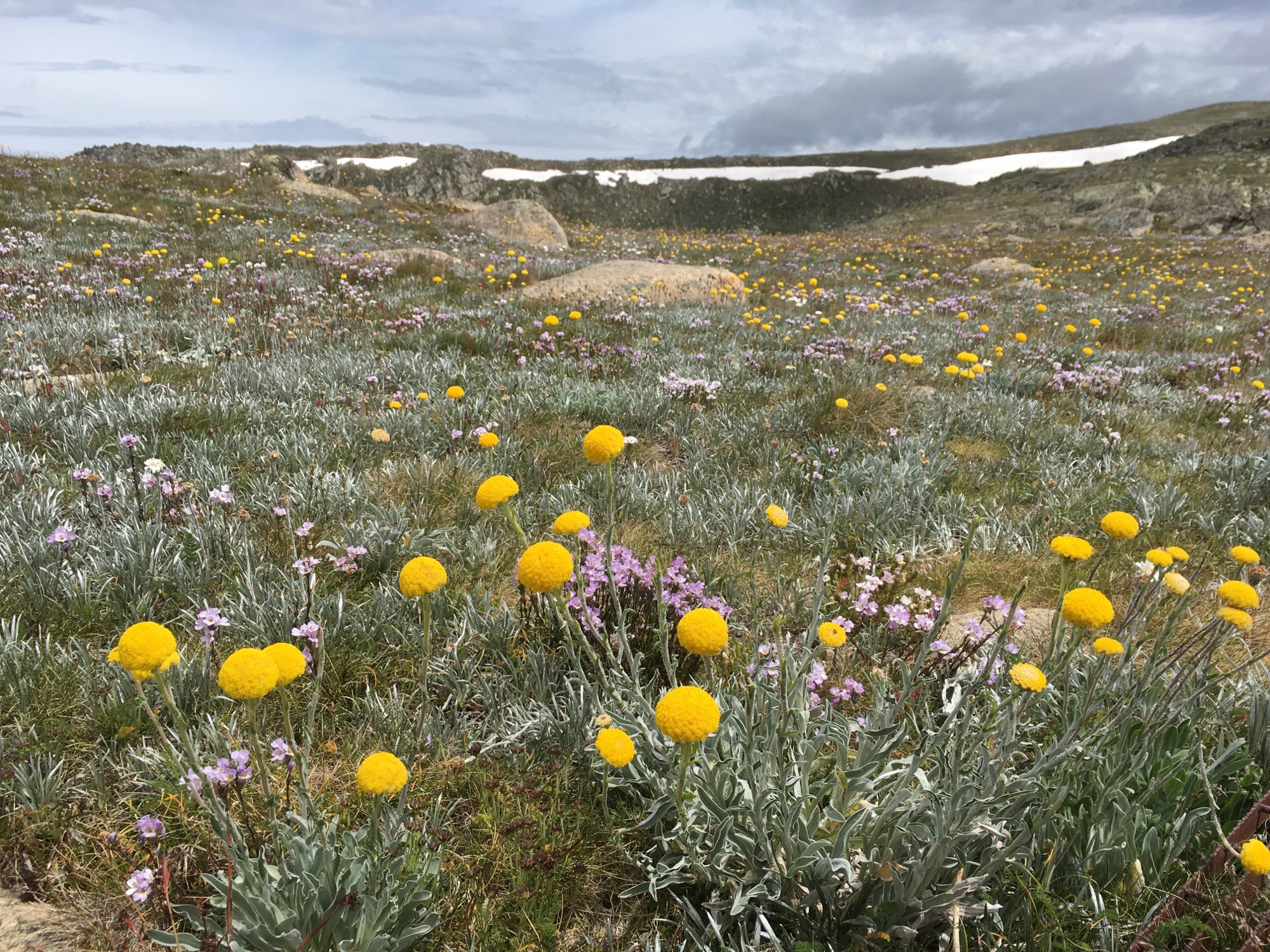
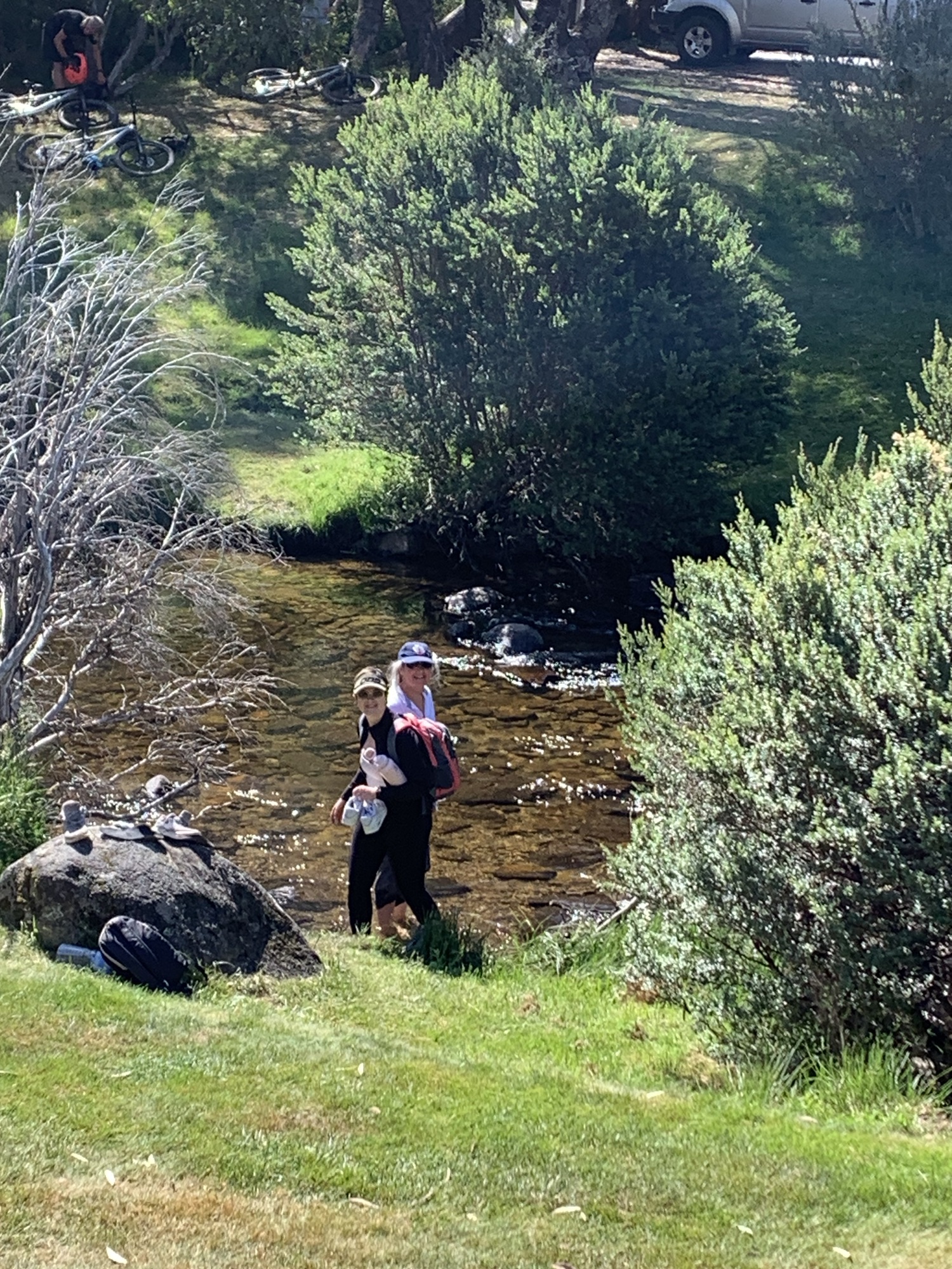
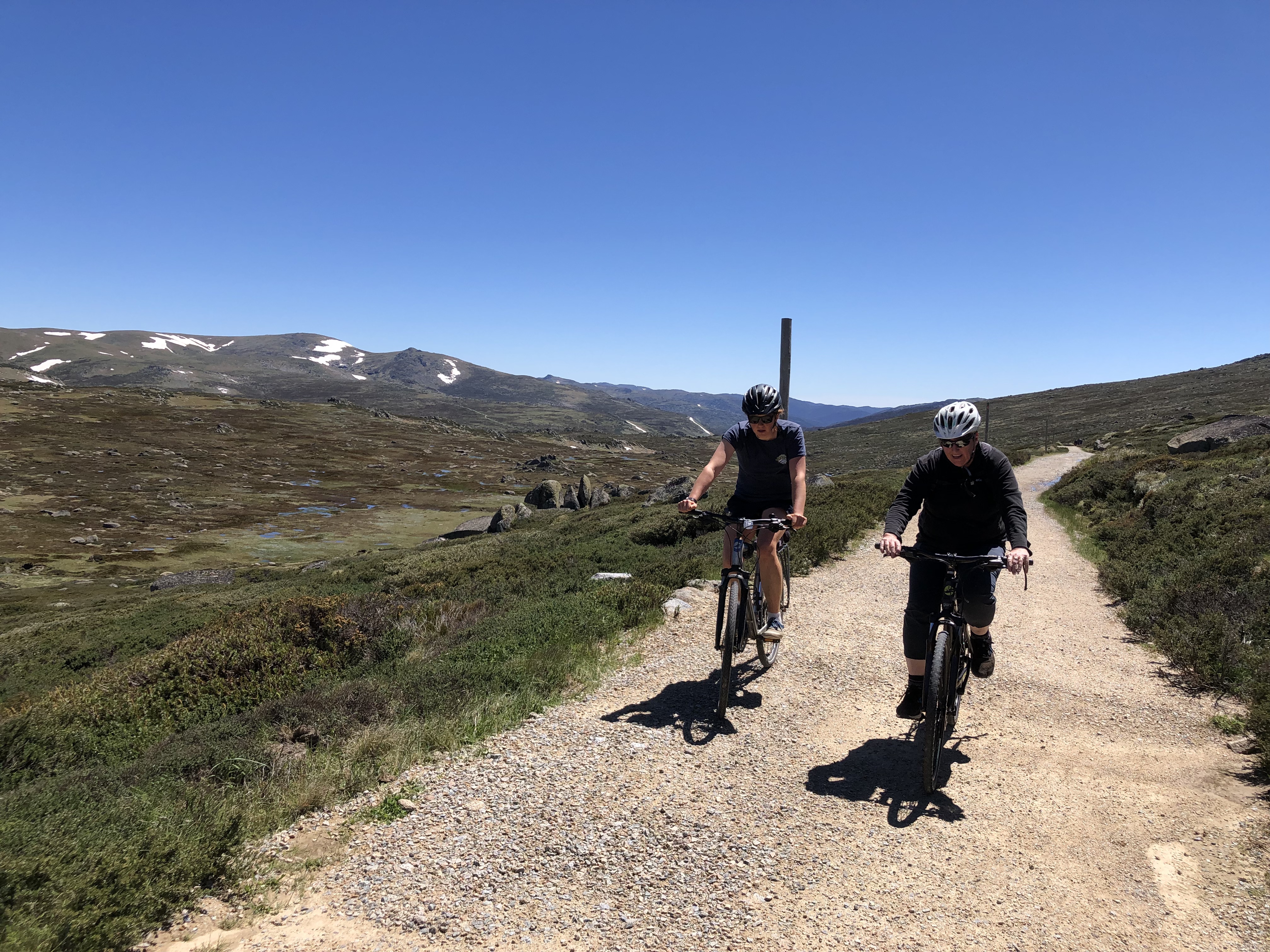
Out of Snow Season Weather
The weather can be extremely variable in the mountains. Always take all-weather clothes when you go out hiking or cycling in the mountains. For more information about holidaying here in the summer, check out our ‘off season’ page.